Icon: 
Function: SimplifyGIS
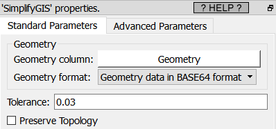
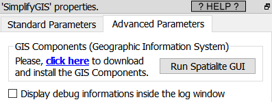
Property window:
|
|
Short description:
Simplifies geometries
Long Description:
Returns a "simplified" version of the given geometry computed using the Douglas-Peucker algorithm. This will actually do something only with (multi)lines and (multi)polygons but you can safely call it with any kind of geometry.
The Preserve Topology flag prevents oversimplification, otherwise the circle can at most become a square.
The Tolerance parameter is expressed in the actuall SRID of the geometries (i.e. it’s in decimal degree if the SRID of your geometries is 4326). See the section 5.10.9.1. for an example of usage. This Action assumes that the geometries are defined in a standard PLANAR coordinate system (i.e. not inside the SRID 4326), so for best results, you shouldn’t use it inside the SRID 4326.